
San Jacinto Neighbors by Parcel
A San Jacinto neighbor lookup is most defensible when “neighbor” means an adjacent or nearby parcel. Start with one address, identify its APN and geometry, then inspect the parcels that touch or sit within the chosen block context. The record set below shows what each source can add and where the boundary lies.
| Source | What It Shows About a Block | Access |
|---|---|---|
| Map My County parcel layer | Parcel geometry, APNs, boundaries, districts, identify attributes | Free interactive viewer |
| Riverside assessor property view | Owner or assessee, mailing and situs clues, values, parcel map | Web, map, public terminals |
| Recorder index | Deeds, liens, easements, and other recorded parties for selected parcels | 1974+ online; copies paid |
| City permits or code files | Address activity, applicant, contractor, work, and inspection fields | Connect or CPRA request |
| Qualified voter file | Residence, precinct, status, and participation fields under approved use | Restricted application |
| Community organizations | Public officers, contact channels, events, or published programs | Organization-specific |
Ownership is the most accessible parcel clue. It is not a complete household list. A mailing address can be outside San Jacinto, and a parcel can contain several units or structures. A neighbor lookup should state whether the result is an adjacent parcel, owner record, public organization, or historical listing.
Walking the San Jacinto Parcel Block
Map My County’s adjacent-parcel method is a small, repeatable process. Search or zoom to the subject address, turn on parcel boundaries and labels, identify the subject polygon, and pan at a scale where nearby polygons remain visible. Click every touching or selected parcel, note each APN and situs, then follow the APN to assessor information. Measure distance instead of making a claim from visual closeness alone.
- Normalize the address with USPS and confirm it in the Riverside GIS geocoder.
- Identify the subject parcel and copy APN, situs, jurisdiction, map reference, and any legal-description clue.
- Turn on parcel and boundary layers, then click touching or nearby polygons one at a time.
- Compare each APN with the assessor display and preserve owner, mailing, situs, and value fields separately.
- Use the recorder, permit, or community channel only for the defined parcel or organization question.
Condominiums, corner lots, private roads, large rear parcels, and shared driveways complicate “next door.” The GIS map is informational geometry. Survey or title questions need the appropriate professional or recorded instrument.
For a whole named street, move to the San Jacinto street directory workflow rather than expanding the block radius.
The Map My County viewer supplies the parcel and layer channel. The California bizfile information page is the source for the public business image below.
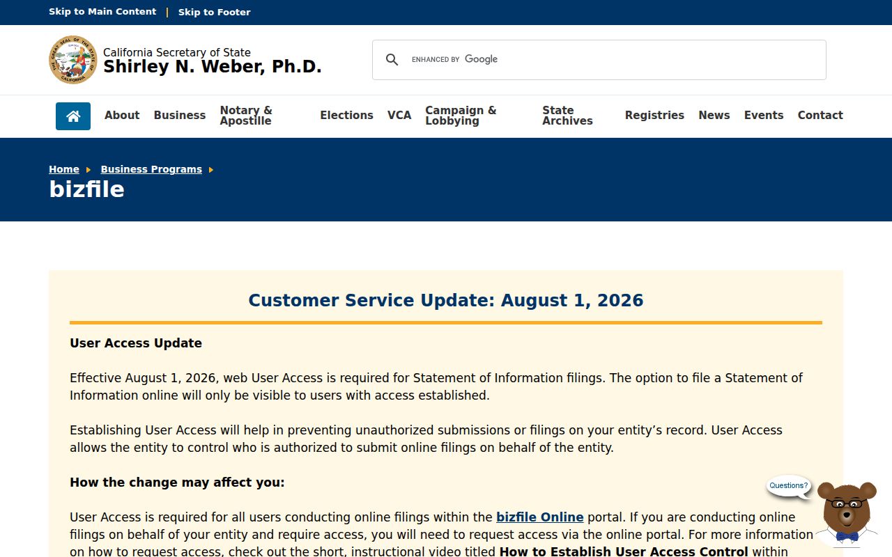
The image represents a public name-search source that can support a community or business role. It does not turn a public filing into a household list.
San Jacinto Neighbor Parcel Quirks
Adjacency is not always a simple left-and-right sequence. A corner lot can touch two streets. A large rear parcel can sit behind several addresses. A condominium map can place multiple units inside one assessor parcel. Private roads can make a polygon look close while access is not public. Measure the map and read the parcel shape before calling another record a neighbor clue.
Assessor data may show an owner or assessee, mailing address, value, map, sales, permit, school, or census panel. A parcel view does not list all household members, private delivery accounts, or utility customers. The owner mailing address can locate a correspondence point while the situs locates the land.
Riverside ACR’s assessor service page is the property-information route. The recorder becomes relevant only after an APN or name role has been identified.
- Adjacent parcel
- A mapped polygon that touches or is selected near the subject parcel. Adjacency does not prove a personal relationship.
- Situs
- The physical location of the assessed land, distinct from the mailing address.
- APN
- The assessor parcel number used to connect maps, assessment fields, and later record searches.
- Buffer
- A measured map area around a point or parcel. It describes geography, not a list of people.
San Jacinto Neighbor Assessor Fields
For each selected San Jacinto parcel, record the APN, situs, owner or assessee string, mailing destination, value context, map reference, and any public sales or permit panel. These fields can help compare the parcels around a block. They cannot establish that the owner occupies the parcel or that one household member belongs to the next parcel.
A matching mailing and situs address can support an owner-location clue. A trust, entity, PO box, manager, or outside owner can make them differ. Homeowners’ exemption information, when rendered, is supporting owner-occupancy evidence, not proof of every household member.
Use the parcel’s APN and legal description before a name. If a recorder search later returns several people with the same surname, the parcel and document role are the safer way to separate them.
San Jacinto Neighbor Voter Access
My Voter Status is for one voter’s own verification. It requires identity fields such as first name, last name, date of birth, and a driver license, state ID, or last four Social Security number as prompted. It returns status, party preference, address, districts, polling or vote-by-mail information, and ballot status when applicable.
A qualified voter-file recipient may receive residence address and precinct fields for an election, scholarly, journalistic, political, or governmental purpose under Elections Code sections 2188 and 2194. The application requires detailed intended use, security safeguards, delivery choice, active or inactive selection, history or district choices, certification, signature, and payment. Commercial use is a misdemeanor.
That means a San Jacinto neighbor lookup cannot casually browse everyone on a block through the voter system. Participation history records whether and how someone voted, never whom they selected. Safe at Home and confidential voters receive special protection.
San Jacinto Neighbor Community Roles
Permits and code files can show that a defined activity occurred at an address. San Jacinto Connect may expose an application, permit type, issue or final date, contractor, scope, and inspection status when those fields are public. The accessible documentation does not confirm the live search fields or historical coverage. For older cards, request existing address and APN fields from Community Development or the City Clerk.
Community groups add a different layer. Public officers, meeting notices, events, and contact channels can help someone reconnect with a civic group or understand a block’s history. They do not make member rosters public. The city’s community-resource page, the Chamber of Commerce, school or PTA groups, faith institutions, block-watch programs, and development-specific associations may publish different amounts of information.
The San Jacinto community resources route is the city-facing starting point, though the research sweep did not locate a comprehensive public neighborhood-association inventory.
City community resources
Public programs, events, and organization contacts when published by the city.
San Jacinto Chamber
Business-facing contacts and events, not a household membership roll.
Verify current contact details directly.
HOAs and civic groups
Board or public contact information may be published; member lists are not assumed public.
Ask the organization about its own rules.
Public community contact is different from private membership information. A neighbor lookup should stop at the deliberately published channel.
San Jacinto Neighbor Tools Compared
Commercial compilation services may merge public and commercial data into a paid result. They can lag corrections, join same-name people, omit protected records, and blur the source or date of a claim. Official channels are slower because each one preserves a defined record purpose, custodian, identifier, and access rule.
| Source type | Strength | Risk or limit |
|---|---|---|
| County GIS and assessor | Parcel, APN, situs, ownership and map context | Not a complete household list |
| Recorder instrument | Recorded party role and legal description | Copy fees; party is not automatically an occupant |
| City permit file | Address-dated work and defined project roles | Historical fields and search coverage vary |
| Commercial compilation | May gather several public sources in one interface | Cost, stale merges, unclear source and lawful-use limits |
For a San Jacinto block, the official parcel path is more transparent: address, APN, polygon, assessor field, recorder role, and date. A compiled result can be a lead only when its source is independently verified.
San Jacinto Neighbor Block History
Census enumeration can reconstruct a historical block through 1950, even when a modern street string is absent. Start with the parcel or landmark, locate the likely enumeration sequence, then compare household names with a directory, obituary, map, deed, or permit. San Jacinto’s pre-1893 San Diego County catalog clue can matter when the old source is filed under predecessor geography.
The San Jacinto Museum, Riverside County Library System, Library of Congress maps, newspapers, school yearbooks, and cemetery records can add local texture. Each is a distinct collection. Preserve title, date, page, and access note so a neighbor history does not turn a remembered name into an unsupported current claim.
Privacy Limits on San Jacinto Neighbors
Household members, private rosters, utility accounts, delivery records, DMV addresses, minors, protected participants, and sealed records remain outside the ordinary parcel method. Safe at Home supplies a designated address for eligible participants and does not retroactively erase all public information. A map can be precise about land while remaining silent about people.
California’s Delete Act and DROP address covered data brokers, not government deeds, court records, or assessor records. If a public record is wrong, contact the office that created it. If a record is sensitive or protected, respect the absence rather than searching for a workaround.
The California Attorney General’s DROP announcement describes the privacy channel.
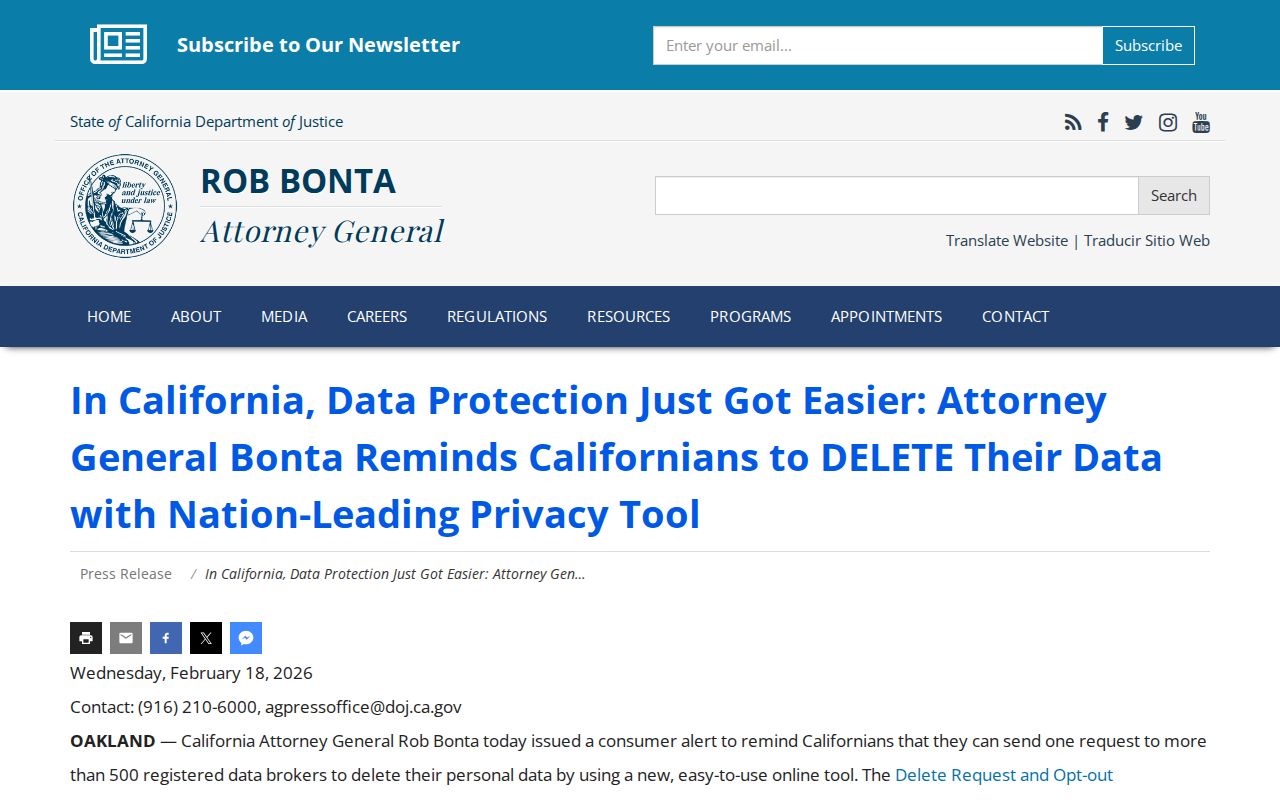
The DROP image belongs to the privacy layer, where a resident can manage covered commercial data without changing the public custodian’s record.
Lawful use. San Jacinto neighbor records are for understanding a block, reconnecting, family history, civic curiosity, and personal safety. Do not use them to stalk, harass, intimidate, or harm another person.