
Finding San Jacinto Street Residents
A useful San Jacinto street directory workflow moves from a location to a role. Normalize the street name first. A directional prefix, street type, unit, old route name, or postal city can change the candidate set. Then confirm the parcel in Riverside County’s map service, read situs and mailing addresses separately, and preserve the APN and legal description before moving into a deed search.
The sequence below is designed for a current address. It identifies land and recorded parties before adding historical or personal context. The deed chain is an ownership trail. A permit names an applicant or contractor. A voter-file record is restricted. A directory or census entry describes a household at a particular time. None should be silently changed into a claim that every person living at an address has been found.
- Run the full address through USPS and Riverside Map My County; note the postal city, ZIP, jurisdiction, APN, and parcel shape.
- Open Riverside assessor property information and record the situs, mailing address, owner or assessee display, map clue, and any sales or permit panel.
- Use the current owner or grantee in Riverside ACR’s recorder index; narrow by date, document type, APN, or legal description.
- Follow the prior grantor as an earlier grantee, keeping document numbers, roles, dates, and legal descriptions in a notebook.
- Request San Jacinto permit or city files by address and APN, then use a directory, census schedule, obituary, or museum file for an older household layer.
For a whole street, repeat the parcel step one address at a time. For the immediate block, the adjacent-parcel method on the San Jacinto neighbors lookup page is the better fit.
San Jacinto Records by Address
Address-keyed sources in the San Jacinto street directory do not have equal reach. Map My County is strongest for geometry and APN. The assessor connects a parcel to public ownership and value fields. The recorder connects names to instruments, not to all occupants. City permits add dates and work details. Census and reverse directories can add past household evidence, while voter-file access is limited to approved purposes.
| Record set | Keeper | Address-level evidence | Access |
|---|---|---|---|
| Property information | Riverside County ACR assessor | APN, situs, owner or assessee, mailing and value clues | Web, map, office terminals |
| Parcel GIS | Riverside County GIS | Geometry, adjacent parcels, layers, identify attributes | Free interactive viewer |
| Deeds and liens | Riverside County recorder | Recorded parties, instrument type, date, number, legal description | 1974+ web index; copies paid |
| City permits | San Jacinto Community Development | Site address, APN, work, applicant or contractor, dates | Connect or CPRA request |
| Voter file | California and Riverside election offices | Residence fields for qualified recipients | Approved statutory purpose only |
| Census and reverse directories | NARA, libraries, museums | Past household or listed occupant by sequence or address | Historical collections |
Parcel identifiers tie much of the chain together. A street label can shift, a postal city can cross a boundary, and a mailing address can be outside San Jacinto. APN, subdivision, lot, block, and legal-description clues are more stable than a ZIP alone.
San Jacinto Street Assessor Fields
Riverside ACR’s assessor services combine property information, maps, assessment and tax context, sales, permits, census, and school panels. Public service computers and microfiche provide ownership and parcel-map access when the web description does not expose a needed owner-name field. A result can be a strong starting point, but assessment data is not a certified deed and is not an occupancy register.
The Riverside assessor property-services page is the source for the web and office channel. The live fields can vary, so keep the date searched and the exact display text. Mailing address identifies the assessment notice destination. Situs identifies the land. A trust, entity, PO box, or outside owner can make the two different.
| Street Address | Geocoder or address key; normalize direction and street suffix before searching. |
|---|---|
| Assessor Parcel Number | APN search or list where the selected tool permits it; preserve every digit. |
| Map and identify | Click a parcel or use a map-page clue to return mapped attributes. |
| Layers | Parcel, jurisdiction, planning, district, flood, and other county reference layers as available by scale. |
| Property panel | Owner or assessee, mailing and situs clues, values, sales, and related map or permit context where rendered. |
The most useful notebook columns are searched address, returned address, APN, owner string, mailing address, situs, map reference, and confidence note. That record preserves what the assessor actually said.
Riverside’s property-search choices are shown on the official assessor service page.
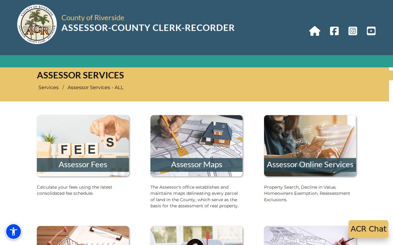
The assessor image illustrates the property and map channel. A street directory search should copy the parcel clue before pivoting to the recorder.
San Jacinto Street Parcels in GIS
Map My County is the address-to-parcel bridge. Search an address or place, turn on parcel boundaries and labels, click Identify, and pan at a scale where surrounding polygons remain visible. The Help document describes APN entry, address and place searches, Thomas Brothers map-page choices, layer controls, identify, select, measure, zoom, pan, and print tools.
For a street directory, the map is best used as a controlled walk. Start at one known address. Note the subject APN and jurisdiction. Move along the street and click each parcel that falls within the chosen segment. Then compare the returned situs and owner fields with the assessor display. Map geometry establishes adjacency and parcel placement; it does not establish a household relationship.
San Jacinto also exposes a city-to-county Assessor Map feature layer. It is a useful bridge when city parcel context and county assessment information need to be compared.
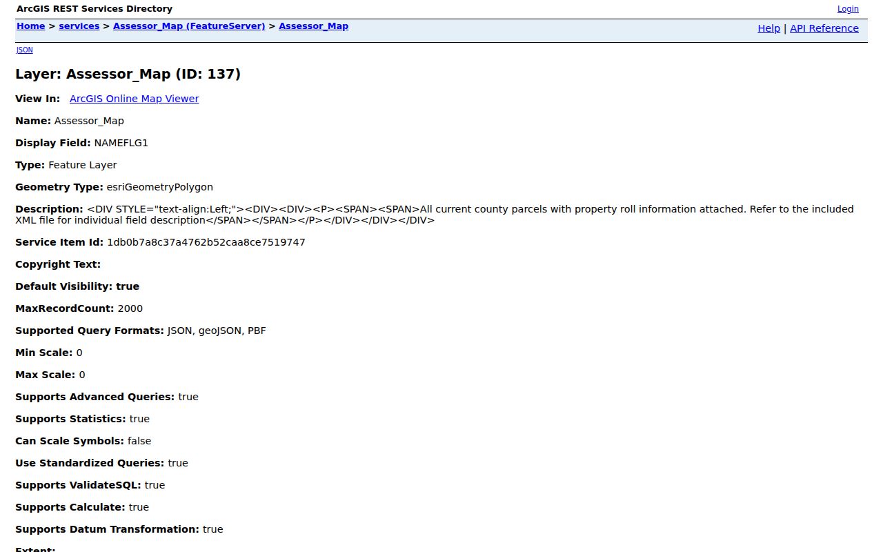
The city assessor layer helps connect municipal geography to county parcel data. It should still be read with the county APN and legal description, not as a substitute for a survey or title record.
- Parcel
- A mapped unit of land tracked by an APN. One parcel can contain more than one structure or address.
- Situs address
- The physical location of the assessed land. It may differ from the mailing address used for notices.
- Plat
- A recorded map that lays out lots, blocks, streets, and boundaries for a subdivision or map area.
- Criss-cross directory
- A historical address-order source that may connect a street and house number to a listed occupant.
San Jacinto Street Permits
Building and Safety records add a dated activity layer to the San Jacinto street directory. San Jacinto Connect directs permit applications through the city’s online channel. A public permit record may show the site address, APN, permit number and type, issue or final dates, contractor, project scope, and inspection status when the city already maintains those fields.
The accessible city documentation did not confirm the live Connect search fields or historical coverage. Do not promise a complete address archive. If the online search does not expose an older permit card, request the existing file from Community Development or the City Clerk by exact address and APN. A CPRA request can seek existing records; it does not require the city to create a new list or answer a broad question.
The San Jacinto Building and Safety page is the correct starting channel.
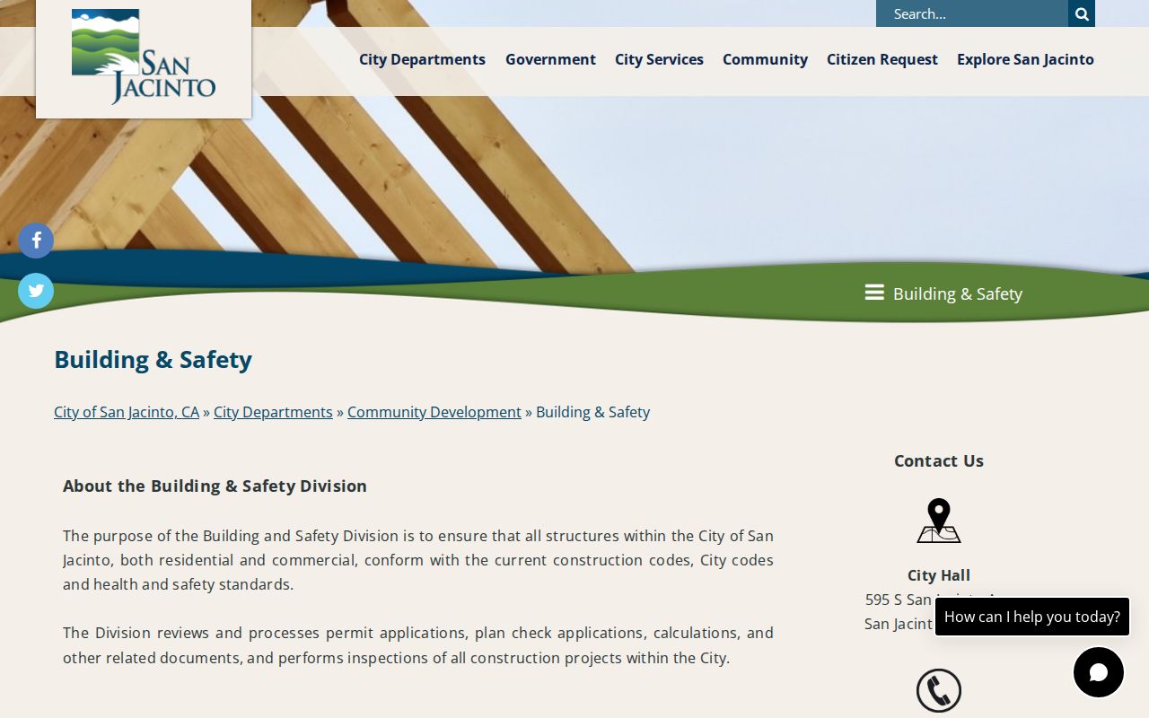
Permit activity can mark a change to a structure or site. It does not identify every person using the address, and a permit applicant can have a different role from the owner.
The San Jacinto City Clerk permanent-records page supplies the municipal file channel for contracts, deeds, easements, and council actions.
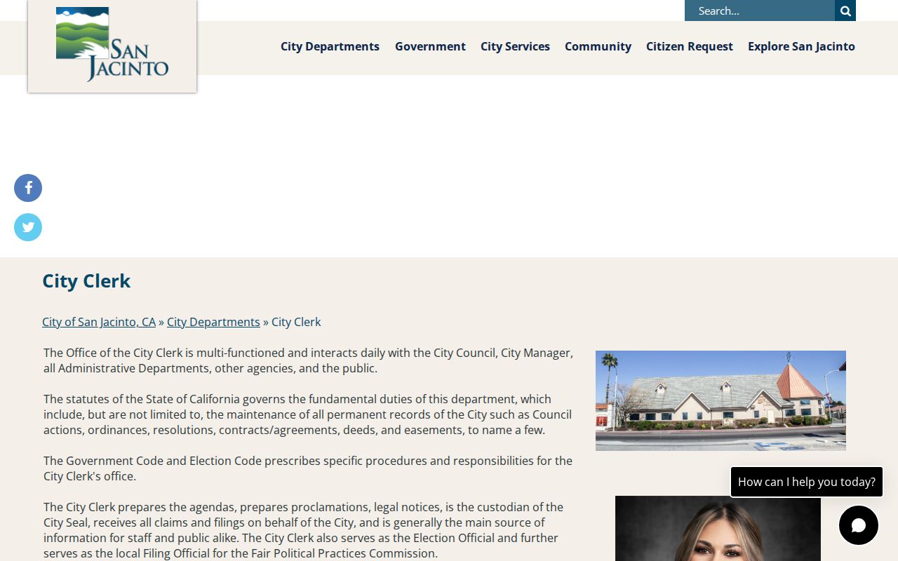
City files add named municipal parties and address clues, but they remain a defined record set rather than a citywide residents directory.
Note: Ask for an existing address or APN field set, because California public-records law does not require a new resident list to be assembled.
Deed Chains Along San Jacinto Streets
Riverside recorder records provide the legal ownership trail behind a street address. Start with the owner or grantee shown by the assessor, then search the official-record index by name, date, document type, and APN or legal-description clue. Record the grantor, grantee, recording date, document number, instrument type, book or page when shown, and the lot, block, subdivision, or metes-and-bounds description.
The online recorder index begins January 1, 1974. Older research moves to the Gateway Riverside office and historical books. A mail search without a document number needs the title or type, every known party, an estimated recording date, and APN if known. For pre-1976 documents, staff limits a requested search to two years after the estimated year. Copies are paid, and certification is separate.
Party role matters. A name may be a grantor, grantee, trustee, beneficiary, lien claimant, release party, or another indexed role. Search spelling variants, trust and entity forms, and married or birth surnames without merging them until the parcel and document evidence agree.
Old San Jacinto Street Names
Street continuity is a research problem in older San Jacinto records. San Jacinto incorporated in 1888, but Riverside County did not exist until 1893. The Library of Congress bird’s-eye map labels the town in San Diego County, so a historic index may use predecessor-county geography. A nineteenth-century source may identify a landmark, cross street, lot, or block rather than the modern street string.
Preserve the legal description at every deed step. Lot, block, subdivision, map book, and APN history can bridge a changed street number or a postal label that does not match a city limit. Sanborn maps, the bird’s-eye map, permits, and directories answer different questions: footprint, context, work date, and listed household. No official source verified a citywide San Jacinto renumbering year, so do not supply one.
The result is a careful address notebook rather than a guessed conversion. Keep directional prefixes, street type, unit, city and ZIP as printed, then test variants against parcel evidence.
Voter Data on a San Jacinto Street
California My Voter Status cannot browse everyone on a street. It is an identity-checked personal status service. A qualified voter-file recipient may receive residence address, precinct, status, party preference, and participation fields for a statutory election, scholarly, journalistic, political, or governmental purpose. The application requires a detailed purpose, safeguards, delivery choice, certification, and payment.
That restriction matters for a street directory. A residence field in an approved file may be sorted geographically only within the approved use. Participation history reports whether and how a person voted, never the selected candidate or measure. Safe at Home and confidential voters are excluded or protected. An inactive status does not prove a move on a particular date.
The public property roll and GIS are therefore the practical street starting points. The voter system is a specialized channel, not a casual substitute for a resident list.
San Jacinto Reverse Street Directories
A reverse or criss-cross directory changes the direction of the question. Instead of name to address, it starts with street and house number and may return a listed occupant or telephone entry. San Jacinto’s exact publishers, years, and local reverse-directory runs were not located in an official catalog during the research sweep. Ask the San Jacinto and Hemet library branches, Riverside Main Library local-history staff, San Jacinto Museum, and state library collections using variants such as San Jacinto Valley, Hemet-San Jacinto, telephone directory, and criss-cross.
When a volume is found, photograph or note its title page, geographic scope, edition year, front-matter abbreviations, street cross-reference, and page. Do not assume annual publication or continuous coverage. Pair a listed address with deeds, census schedules through 1950, obituaries, permits, or a second directory year. The historical shelf belongs to the San Jacinto directory book page; this street directory uses it only as an address tool.
What a San Jacinto Street Directory Misses
Public street records do not expose DMV residential data, utility or delivery customer lists, private membership rosters, or every household member. An assessor lists taxable ownership. A recorder lists indexed parties to recorded instruments. A permit lists a defined project role. A directory or census schedule reflects the edition or enumeration date. Those limits are part of the answer, not a defect to be filled with speculation.
California’s Safe at Home program can substitute a mailing address for an eligible participant, and sealed, juvenile, confidential, or otherwise restricted records can create a deliberate gap. A map can show a parcel near another parcel without showing a personal relationship. When a record seems wrong, contact the custodian that created it rather than trying to combine unrelated names.
Lawful use. San Jacinto street and address records support personal research, family history, house history, civic review, and reconnecting. Do not use them to stalk, harass, intimidate, or harm anyone.